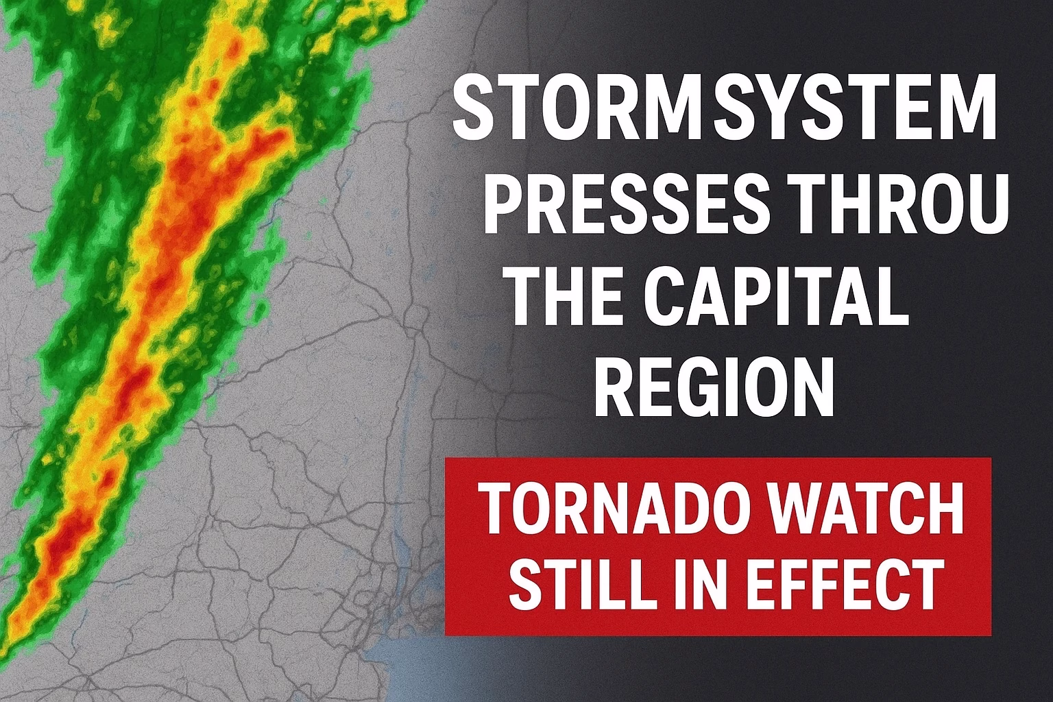
UPDATE — 5:00 a.m. Sunday: Widespread showers and thunderstorms continue moving through the Capital Region. While one weather warning was issued in the past hour, the majority of storms have remained under the “severe threshold” for now. The existing Tornado Watch has been extended until 6:00 a.m. and now covers additional parishes including St. John and Tangipahoa.
The back edge of this rainfall line lies over southwest Louisiana and conditions are expected to gradually improve later this morning as the rain diminishes.
What a Tornado Watch Means
A Tornado Watch indicates that atmospheric conditions are favorable for the development of tornadoes and/or damaging winds in and around the watch area. National Weather Service
During a watch period you should remain vigilant for changing weather and be ready to take prompt action should a warning be issued. CDC
Safety reminders during a watch or warning include:
- Be alert to threatening weather conditions.
- Monitor local weather updates and watch for possible tornado warnings.
- If a Tornado Warning is issued for your area, seek shelter immediately — the situation is considered imminent. National Weather Service
- If you are in a sturdy building, go to a low-level interior room (basement if available, or an interior closet/hallway without windows). Avoid mobile homes and vehicles. CDC
- Make sure to bring pets (on leash) with you if you take shelter, wear hard-soled shoes (in case you need to walk through debris), keep a wireless device active to receive updates, and cover your head in case of direct wind or tornado impact.
What’s Expected Overnight and Into the Morning
A strong and widespread line of storms is forecast to push into the Capital Area after midnight, most likely between 2:00 a.m. and 5:00 a.m. Ahead of the main line, isolated storm cells may develop.
Some of the overnight storms may reach or cross the severe threshold, with primary concerns being damaging straight-line winds and isolated, brief tornadoes. While most locations will likely dodge the worst of it, a few unlucky spots could experience intense conditions.
Rainfall totals are expected to climb by an additional 1–3 inches, with isolated higher amounts possible. If the rain falls at a moderate pace, this will be beneficial for the region; however, if it comes down too fast in concentrated bursts, flooding could become a concern.
Sunday Outlook
Overnight storms may linger into the early morning hours, but once the rain begins to move out after sunrise, the threat will diminish quickly. For the afternoon, just a spotty thunderstorm is possible. Skies should gradually clear, and highs will approach the 80 °F (~27 °C) mark.
What’s Coming Next Week
Early next week sees a shift toward drier, more comfortable weather: humidity drops, highs persist near 80 °F, and overnight lows settle around the low to mid-60s °F (~16–18 °C).
A strong cold front is projected to move through on Tuesday night, with at most a slight chance of an overnight shower. The major story behind the front: falling temperatures. Expect daytime highs in the 60s °F (~16–20 °C) on Wednesday and Thursday, and overnight lows dipping into the low to mid-40s °F (~4–8 °C) by the end of the week.
Looking ahead to Halloween, the evening appears to lean cool—temperatures will fall through the 60s into the 50s during trick-or-treat time.