The National Hurricane Center, or NHC, is the U.S. government’s primary centre for the monitoring, forecasting and issuing of public warnings for tropical storms and hurricanes in the Atlantic and eastern Pacific basins. Based in Miami, Florida, it operates under the umbrella of the National Weather Service (NWS) and the National Oceanic and Atmospheric Administration (NOAA). The NHC’s mission is to reduce loss of life and property by providing reliable and timely information on tropical cyclones.
What the NHC Does
- The NHC monitors tropical disturbances from formation (invests) through tropical storms and hurricanes.
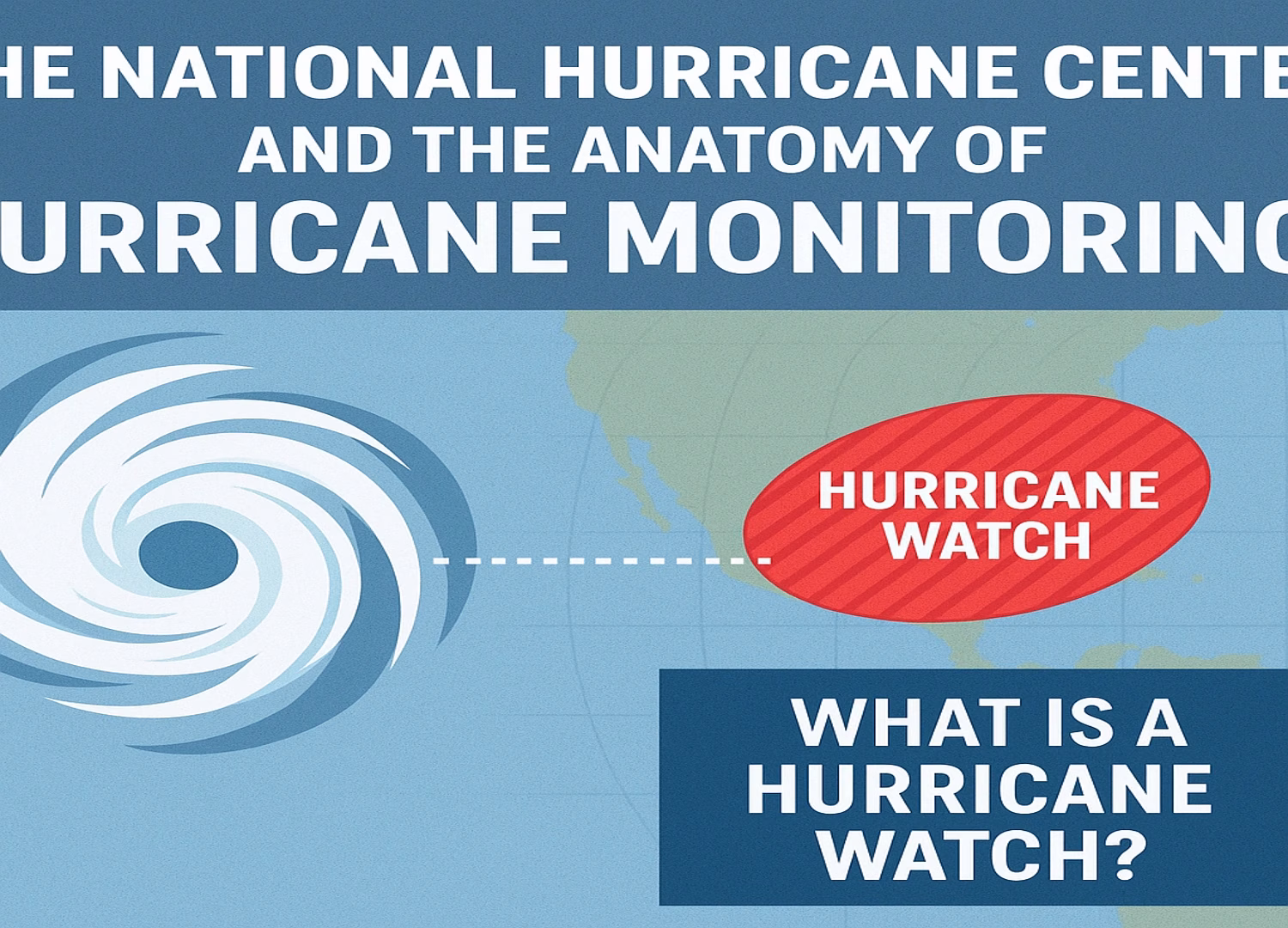
- It issues public advisories, warnings and watches (hurricane watch, tropical storm warning, etc) for affected areas. For example, the NHC recently issued a hurricane watch for the southern peninsula of Haiti and a tropical storm warning for Jamaica in the case of Melissa. National Hurricane Center+1
- It publishes forecast “cones” (typical tracks), intensity guidance, storm surge/wind/rainfall hazard maps, and “spaghetti models” which show ensemble model tracks.
- The NHC’s work is complemented by regional meteorological services (e.g., Jamaica’s Meteorological Service) and international hurricane centres.
Why Hurricane Tracking Matters
Tracking a hurricane is not just about how strong the wind is or exactly where the eye goes; it’s about forecasting the full suite of hazards (winds, surge, rainfall, flooding/landslide) and giving people time to prepare. According to the NHC’s latest advisories on Melissa, heavy rainfall and life-threatening flooding are as big (or bigger) threats than just the wind. National Hurricane Center
Indeed, data show that slow-moving storms can dump extraordinary rainfall amounts, and the NHC has explicitly warned of “catastrophic flash flooding and landslides” in southern Haiti for this event. NBC 6 South Florida
Introducing Hurricane Melissa – A Major Threat
Now we turn our attention to Hurricane Melissa, which is currently making headlines across the Caribbean. According to NHC advisories and media reports.
- Melissa has intensified rapidly and is now classified as a Category 4 hurricane, with maximum sustained winds estimated near 140 mph (220 km/h) as of recent update. Reuters
- The hurricane is moving slowly (only a few miles per hour in some forecasts), which greatly increases the risk of prolonged rainfall over vulnerable terrain. Live Science
- The expected impact zone includes southern Jamaica, Haiti’s southern peninsula (Tiburon Peninsula), eastern Cuba, and potentially the southeastern Bahamas and Turks & Caicos. The Weather Channel
- The NHC and other meteorologists warn that the rainfall could reach 15–30 inches (≈380–760 mm) in parts of Jamaica and Hispaniola, with locally up to 40 inches in especially vulnerable zones. WUSF
Why Melissa Has Become Especially Dangerous
Three key features make Melissa a particularly ominous storm:
Three key features make Melissa a particularly ominous storm:
- Rapid Intensification: The upgrade to Category 4 strength happened quickly as favourable environmental conditions (warm waters, low shear) allowed Melissa to ramp up. The Weather Channel
- Slow Forward Speed: With the storm barely moving, rainfall accumulates over one region for longer. This magnifies flooding/landslide risk. As one article noted, the storm is “moving slower than a person walking.” Live Science
- Threat to Multiple Hazards: Wind is a serious threat, but the combination of storm surge (9–13 ft above ground in some projections), prolonged heavy rainfall, and landslides in mountainous terrain means multiple overlapping dangers. The Weather Channel
Jamaica and Haiti: On High Alert
Jamaica
The National Hurricane Center, or NHC, is the U.S. government’s primary centre for the monitoring, forecasting and issuing of public warnings for tropical storms and hurricanes in the Atlantic and eastern Pacific basins. Based in Miami, Florida, it operates under the umbrella of the National Weather Service (NWS) and the National Oceanic and Atmospheric Administration (NOAA). The NHC’s mission is to reduce loss of life and property by providing reliable and timely information on tropical cyclones.
Haiti (Southern Peninsula)
Haiti is in grave danger due to terrain, historic vulnerability and the rainfall forecasts. The NHC describes the risk of catastrophic flash flooding and landslides in southwestern Haiti as extremely high. NBC 6 South Florida
Some key concerns:
- Large swaths of southern Haiti have rugged terrain and vulnerable communities.
- Heavy rainfall over several days raises risk of slope failure, river flooding, isolation of communities.
- Disruption of infrastructure (roads, water, communications) could hamper response efforts.